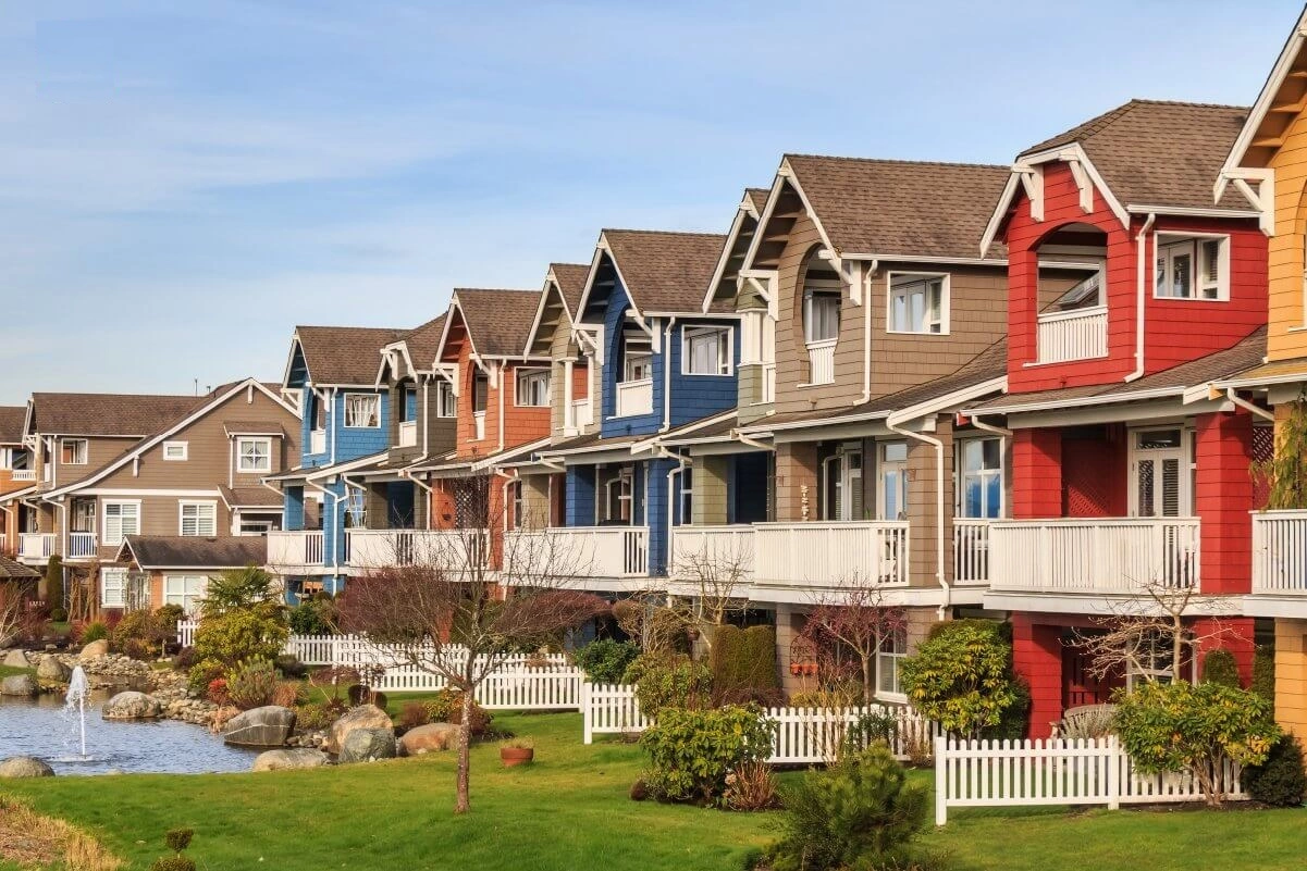
Residential Subdivisions Planning and Design Elements
Communities use subdivision design and site design standards to control how land is divided into lots that can be built on and how those lots are designed and laid out during the building process. Most subdivisions start with a sketch plan that shows the basic layout of the lots and plans for public infrastructure. This is followed by a more detailed preliminary plat that shows building footprints and exact measurements, and the process ends with a final plat that divides the land into the new lots. Small subdivisions that only create a few lots usually have shorter rules.

-
Implementation
As communities grow, they should use long-term planning tools, like the comprehensive planning process, to figure out where most of the new growth should happen. There can be a lot of pressure to put new buildings in areas that are known to be dangerous. When looking at a proposed development, communities must weigh different interests. For example, the need for more housing for workers in a community should be weighed against the desire to protect natural areas, view corridors, and natural hazard areas, as well as the safety and well-being of the people who will live in the new development. Communities have to make sure that development doesn’t put people in danger while still letting people build on their own land according to the rules. Communities can often find a middle ground with subdivision standards that allow new subdivisions to be approved if they meet certain conditions to reduce risks, such as water cisterns to protect against wildfires, slope stabilisation to prevent landslides and rockfalls, and keeping buildable lots out of the floodplain. You can look into more incentives and rules, like cluster subdivisions, density bonuses, and Transfer of Development Rights (TDRs), which are all good ways to encourage people to stay away from dangers. Each of these is talked about in a separate profile for a planning tool.
-
Usage
- Slopes: Slopes with a grade of 30 percent or more, or slopes that are otherwise unstable or dangerous, can’t be platted or developed for residential use without mitigation controls.
- Natural things: Waterways, plants, rocks, and other natural features or views must be protected during subdivisions or development.
- Particularly flood-prone areas: Mapped special flood hazard areas show where subdivisions can’t be built without proof that they aren’t in a flood hazard area or meet other rules for protecting against flood damage that the floodplain administrator is happy with.
- Geologically dangerous spots: Before they can be approved, subdivisions and site plans in mapped geologic hazard areas in the Town must meet mitigation conditions. These include rules to keep people and property safe.
- Wildfire-Prone Areas: People who want to build subdivisions or other types of development must show proof from a professional forester that their plans meet several conditions, such as having enough roads for emergency services and meeting the Colorado State Forest Service’s guidelines for wildfire areas.
- Boundary Fencing: Elk and deer need to be able to move, so the height is limited.
- Setbacks for Riparians: To improve and keep the river’s ecological, aesthetic, and recreational quality.

I am Scott Miller and my love is writing about home improvement. I write mostly about home ideas, but also share some tips and tricks that can make your life easier when it comes to getting things done in the house.


